


Directions
Get directions between your address/position and any location on the map. Show locations within a specific distance of your location/address. Display routes and the directions steps.
Choose a starting point
Enter an address or

geolocate your position.
1.
Click to activate/deactivate the distance search.
2. (When activated) Use the slider to define the size of the search area.
3. Click on the button

to search.


Switch the travel mode.


Click on the marker popup to render the route and the directions steps.
 Directions
Click to toggle the directions steps widget.

Click to hide the directions steps widget.
Click to remove the currently displayed route and the directions steps widget.

Click to reverse the start point and the destination. This will update the route and the directions steps.

Click to center the map on your starting point.
Reset
Click to reset and search from scratch.
Submit location

Loading

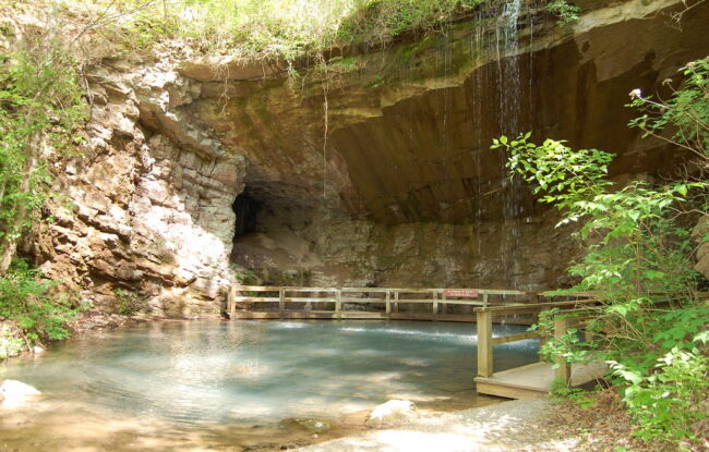

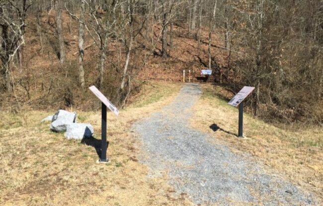
PLOT SUMMARY: This trail follows the old road to the Marble Mine, one of the James H. "Sloppy" Floyd State Park's most scenic features. The spring and winter rainfall generate …
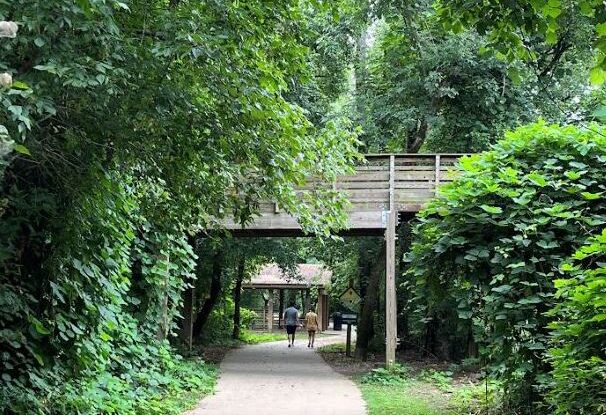
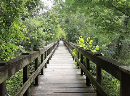
PLOT SUMMARY: The trailhead is located in Downtown Woodstock with easy access to a dog park and connects to other trails. Downtown shopping and dining is located within a 2 minute walk from the trail. The City of Woodstock/Woods…
PLOT SUMMARY: Hike one or more of the seven trails on this state historic site as you learn the historic significance surrounding the events that took place during the American…
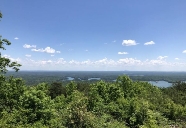
PLOT SUMMARY: There are two loops connecting Pine Mountain: East Loop & West Loop. This is a rugged and challenging hike reaching 1,562 feet above sea level. The trail is open daily for hiking. At the summitt enjoy beautiful…
PLOT SUMMARY: A 483-acre park with over 5 miles of walking trails through open valley fields and mixed pine/hardwood forest with streams and wetlands. The site is dedicated as a heritage preserve to conserve and protect the cult…
PLOT SUMMARY: Start at the Ringgold Nature Trail that joins the Chief Richard Taylor Trail for a round trip walk of a nice and easy paved trail, the trails leads through the western section of the Ringgold Recreational Complex a…
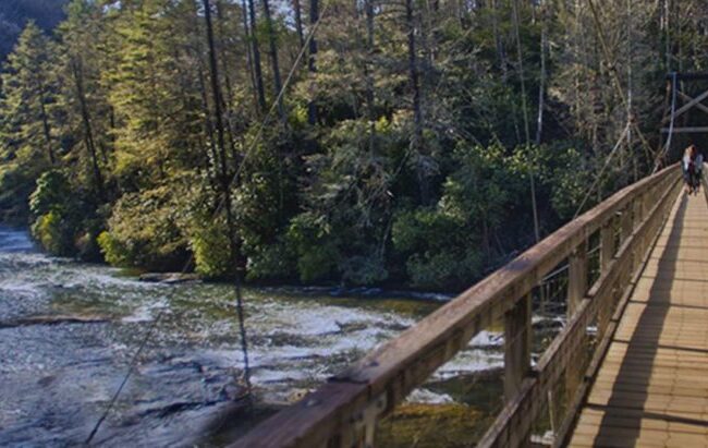
PLOT SUMMARY: A popular destination for day-hikers, Benton MacKaye Trail thru-hikers, and paddlers making the journey down the Toccoa River Canoe Trail is the swinging bridge over the Toccoa River. This 270 foot long bridge is t…
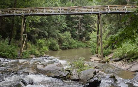
PLOT SUMMARY: In just over a mile there are several scenic stops to enjoy including a 150ft bridge crossing 30 feet over Tails Creek, ending at the cascade’s peak. Be sure to walk the other part of the trail that leads to an ove…

The home of the former Cedartown Coca-Cola Bottling Company is now a museum that pays tribute to one of the world's most recognizable brands. A local family purchased the downtown building in 2014 and restored it to house a massive collection of Coca-Cola memorabilia. The
PLOT SUMMARY: Pine Acres Retreat is located on Lake Allatoona in Bartow County. The 210-acre retreat is a popular destination for group getaways, family reunions, church outings, corporate picnics and more. Renovated event venues, guest lodging with cottages, tent campsites and bathhouses, a large swimming pool, picnic shelters, a swim dock and hiking trails may be enjoyed with reservations. Kayak and canoe rentals are available onsite. State and local lodging tax of 15% applies to all cabin and campsite rentals. As the former site of a Black Girl Scout camp, this location is included in the

